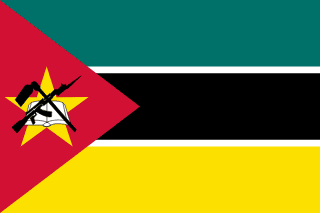
 Mozambique Geography: Location, Area, Borders & Climate
Mozambique is a country in East Africa, Africa, covering a total area of 801,590 km². It has a coastline of 2,470 km along the East Africa coast. Mozambique shares land borders with 6 countries.
📐 Geographic Statistics
Where is Mozambique Located?
Mozambique is situated in East Africa, within the broader continent of Africa. The country has a coastline of 2,470 km, providing access to maritime trade, fishing and coastal tourism. This geographic feature has been central to Mozambique's historical development and economic activity. The capital, Maputo, serves as the country's administrative and economic centre. Within the East Africa region, Mozambique sits alongside countries including Kenya, Ethiopia, Tanzania.
Size and Area of Mozambique
Mozambique covers a total area of 801,590 km², making it one of the smaller nations in the world. With a population of 32.8M across this territory, the population density works out at 41/km²: a moderate distribution of people across the country.
Climate of Mozambique
The climate of Mozambique is tropical, dry season may–october. The most favourable time to visit is May–October, when conditions are most comfortable for travel and outdoor activities. Climate can vary considerably across different parts of the country; coastal areas, highlands and inland plains often experience quite different conditions. Travellers should research the specific region they plan to visit to plan appropriate clothing and activities.
🗺️ Countries Bordering Mozambique
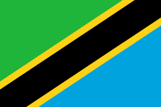
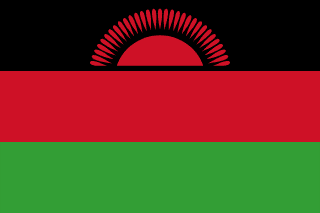
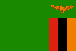
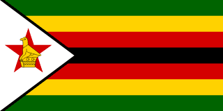
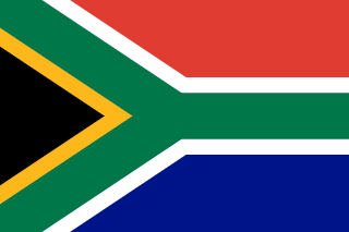
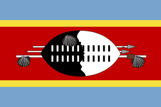
Mozambique shares land borders with 6 countries: Tanzania, Malawi, Zambia, Zimbabwe, South Africa, Eswatini. This large number of shared borders reflects Mozambique's central geographical position within East Africa.
Frequently Asked Questions about Mozambique's Geography
Where is Mozambique located?
Mozambique is located in East Africa, Africa. The capital city is Maputo.
How large is Mozambique?
Mozambique has a total area of 801,590 km² with a population density of 41/km².
What countries border Mozambique?
Mozambique shares land borders with 6 countries: Tanzania, Malawi, Zambia, Zimbabwe, South Africa, Eswatini.
Does Mozambique have a coastline?
Yes, Mozambique has a coastline of 2,470 km.
What is the climate of Mozambique?
The climate of Mozambique is Tropical, dry season May–October. The best time to visit is May–October.
What timezone is Mozambique in?
Mozambique observes UTC+2 timezone.
What continent is Mozambique in?
Mozambique is in Africa, specifically in the East Africa region.
When did Mozambique become independent?
Mozambique gained independence in 1975.