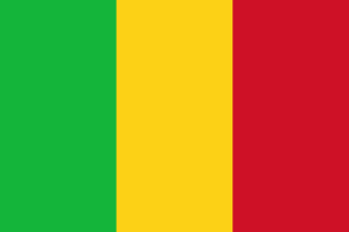
 Mali Geography: Location, Area, Borders & Climate
Mali is a country in West Africa, Africa, covering a total area of 1,240,192 km². It is a landlocked country with no coastline. Mali shares land borders with 7 countries.
📐 Geographic Statistics
Where is Mali Located?
Mali is situated in West Africa, within the broader continent of Africa. As a landlocked country, Mali has no direct access to the sea; all borders are shared with other nations. Historically, this shaped trade routes and development, with the country relying on agreements with neighbours for access to international shipping. The capital, Bamako, is the country's main hub for commerce and administration. Within the West Africa region, Mali sits alongside countries including Ghana, Nigeria, Senegal.
Size and Area of Mali
Mali covers a total area of 1,240,192 km², making it one of the smaller nations in the world. With a population of 22.4M across this territory, the population density works out at 18/km²: one of the more sparsely populated countries, with vast stretches of largely uninhabited land.
Climate of Mali
The climate of Mali is hot desert north, tropical south. The most favourable time to visit is November–February, when conditions are most comfortable for travel and outdoor activities. Climate can vary considerably across different parts of the country; coastal areas, highlands and inland plains often experience quite different conditions. Travellers should research the specific region they plan to visit to plan appropriate clothing and activities.
🗺️ Countries Bordering Mali
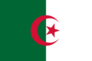
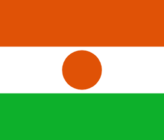
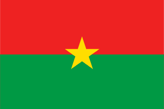
Mali shares land borders with 7 countries: Algeria, Niger, Burkina Faso, Guinea, Senegal, Mauritania, Ivory Coast. This large number of shared borders reflects Mali's central geographical position within West Africa.

Frequently Asked Questions about Mali's Geography
Where is Mali located?
Mali is located in West Africa, Africa. The capital city is Bamako.
How large is Mali?
Mali has a total area of 1,240,192 km² with a population density of 18/km².
What countries border Mali?
Mali shares land borders with 7 countries: Algeria, Niger, Burkina Faso, Guinea, Senegal, Mauritania, Ivory Coast.
Does Mali have a coastline?
No: Mali is a landlocked country entirely surrounded by other countries, with no access to the sea.
What is the climate of Mali?
The climate of Mali is Hot desert north, tropical south. The best time to visit is November–February.
What timezone is Mali in?
Mali observes UTC+0 timezone.
What continent is Mali in?
Mali is in Africa, specifically in the West Africa region.
When did Mali become independent?
Mali gained independence in 1960.